Outside Guadalajara
The Huaxtla Car and Bike Route
|
|
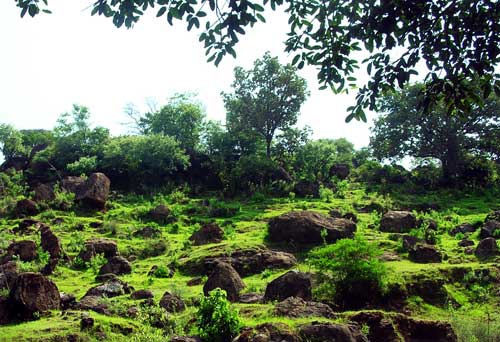
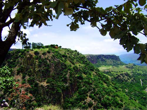
If you like rocks, you'll love Huaxtla!
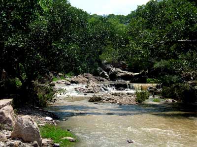
A couple more kilometers downhill open up breathtaking views of lush, green Huaxtla canyon below you and stark red cliffs towering above you. Stop at any of several parking turnouts and gaze upon a magnificent 120-meter-high waterfall (Be sure to catch it in the rainy season).
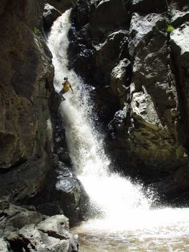 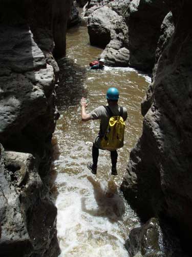 Here you’ll find a trail (at 13 Q 666091 2316065) heading down to a place where people take dramatic dives off high rock walls into deep, cool pools. Just Google “Huaxtla” and “jump” to see some hilarious belly flops performed here.
These are photos taken by Sergi Gomez (from Catalonia) during a recent canyoneering trip in Huaxtla. |
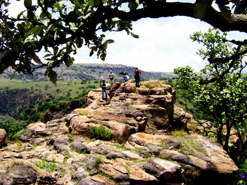
Other trails lead to high lookout
points or to gorgeous green meadows and meandering streams. Here’s a quick
description of one such hike site:
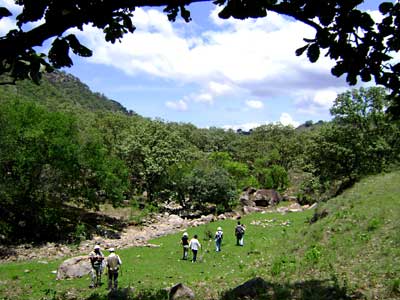 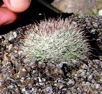 Leave the stream and walk east, uphill, to arrive at large rocks upon which many small “nipple cacti” are growing.
Left: Hiking in the meadows Right: Mammillaria jaliscana cactus. |
These
cute little things are round and just over an inch in diameter and go by the
scientific name of Mammillaria jaliscana. They are abundant in this area thanks
to some help from our botanist friends who like to sprinkle cactus seeds on the
rocks. Upslope, you’ll see a lonely red papelillo tree with paper-like bark,
said to be one of the sources of copal incense. Here the hike ends unless you
fell like going on farther to explore on your own. By the way, be careful about
taking a dip in any of the stream pools around here, unless you enjoy picking
sanguijuelas (leeches) off your body!
Huaxtla’s Unique Plaza
|
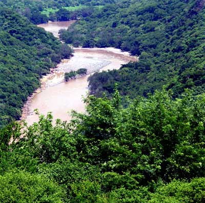
At 6.7 kilometers from the highway, you are in Huaxtla, the only town I’ve ever
seen with a shady, bubbling brook smack in the middle of its plaza. From this
plaza, a 15-kilometer road heading southeast continues above Huaxtla Canyon and
offers great views of the Santiago River far, far, below you.
|
 |
|
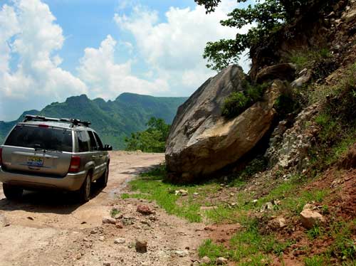
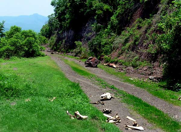
The road is in fine shape, but you have to weave around numerous rocks (some
quite large) which have fallen onto it recently.
|
 |
Along the way, you will cross a nice-looking boulder stream and numerous places good for hiking.
|
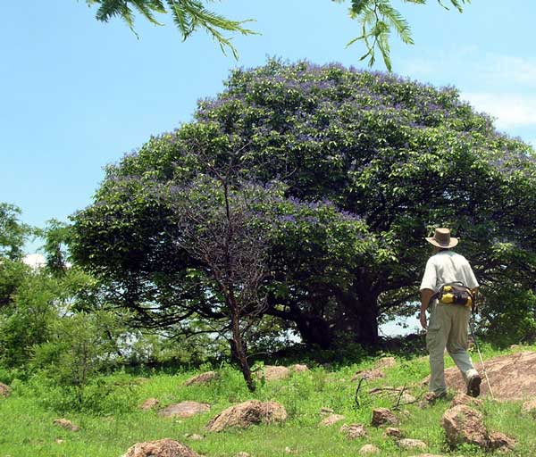
One of these is
at 13 Q 669166 2314369 and features green meadows decorated with blue-blossomed negrito trees (Vitex pyramidata). The ground is covered with rather curious
boulders and rocks, including jasperoid. It’s hard to believe this idyllic,
peaceful scene is only 22 kilometers from a noisy, bustling metropolis.
|
 |
Soledad
|
Fifteen kilometers from highway 23 you come to Rancho Soledad, which is well
hidden behind a high, ugly, stone wall. here you will cross a bridge over a busy
river (13 Q 669827 2311520). From this point on, the road is asphalted and in
pristine condition.
|
 |
(Green =
See GPS coordinates below)
Take the road for Tesistán from the northwest Periférico near Belenes. Drive
north toward Tesistán about 8 kilometers and turn right onto highway 23
(hopefully signposted) to San Cristóbal and Jerez. After 17 km, turn right again
onto Huaxtla Road (again, hopefully signposted). It’s 23.5 kilometers to
Ixcatán via the little town of Huaxtla. Driving time from the Periférico to the Huaxtla
turnoff: about half an hour.
Turn onto Huaxtla Road from highway 23: 13 Q 663150 2315350
End of route (Pickup Point) at Highway 54: 13 Q 672908 2306828
|
|
The rocks falling onto the road come in all sizes!
|
|
Hiking in Huaxtla Canyon
|
|
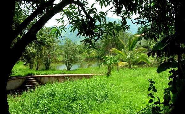
Eden-like private pool next to noisy, ugly, Huaxtla town balneario (swimming pool)